KCARE Research Today

KWRI: Your Water, Our Focus

The Kansas Water Resources Institute (KWRI) develops and supports research on high-priority water resource problems as defined by the Kansas state water plan. KWRI is designed to facilitate effective communication between water resources professionals and to foster the dissemination and application of research results. 

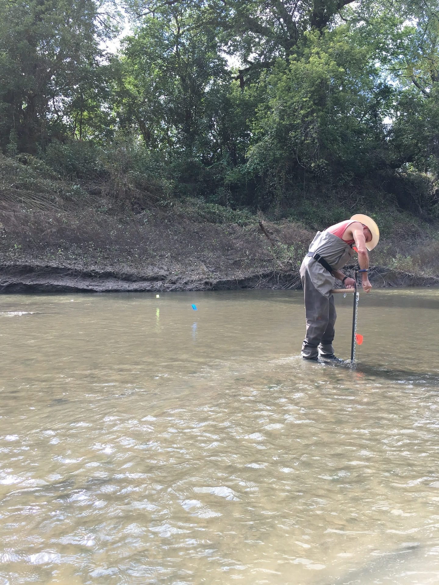
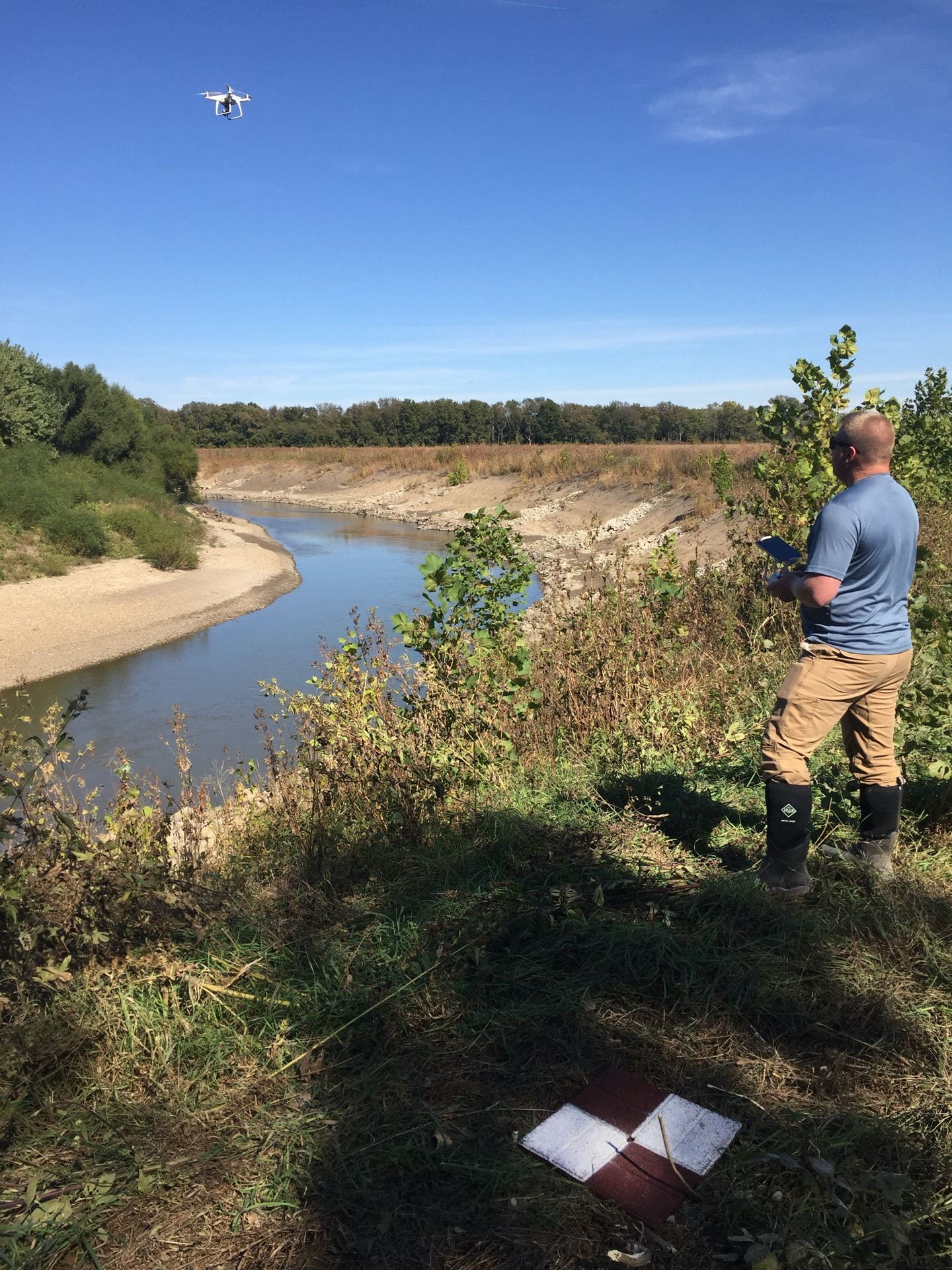
The projects we fund represent key issues affecting Kansas water quality and water resources. These projects have diverse and wide-ranging subjects, including studies on the efficacy of new irrigation technologies, studies on river morphology, drought assessment tools, or water quality assessments. 

KWRI is committed to fostering excellence in research, at all levels. To that end, we are proud to support student research at different Kansas universities. Currently, funded projects provide support for eight undergraduate students, three graduate students and one post-doctoral researcher. 

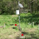
This newsletter issue focuses on current KWRI projects. Take a moment to read about this important research that seeks to answer key questions about water issues for our state, including projects on harmful algae blooms, streambank stabilization efforts and riparian buffer strips. If you would like additional information about any project, please contact us at KWRI for more information or email the project leader directly.

Evaluation of the geomorphological adjustment of a meandering, alluvial river

Man stands in middle of river with long pole to install scour chains in the water
K-State professor Tim Keane installs scour chains in the bed of the Cottonwood River to assess bed stability. Photo credit: Kari Bigham

This study will measure the short-term, reach-scale impacts of streambank stabilization projects on a meandering, alluvial river that outlets into a federally owned reservoir. Continue reading “Evaluation of the geomorphological adjustment of a meandering, alluvial river”

Assessing the effectiveness of streambank stabilization projects on the Cottonwood River using UAS

Man stands on a streambank piloting a drone which is taking photos of the Cottonwood River.
Alan Peterson (KGS) conducts UAS flight survey on the Cottonwood River. Photo credit: Tony Layzell

Multiple unmanned aircraft systems (UAS), or drone, flight tests were performed at one stabilized streambank site. Continue reading “Assessing the effectiveness of streambank stabilization projects on the Cottonwood River using UAS”

Does nutrient form control harmful algal bloom toxin release?

Ted Harris stands in a very large circular vat to demonstrate its size.
Experimental size matters! Large-scale experiments include real-world processes and give realism to experimental results.

The causes of cyanobacterial blooms and cyanotoxin production are yet to be fully elucidated. Continue reading “Does nutrient form control harmful algal bloom toxin release?”

Determining if riparian buffer strip age impacts phosphorus retention potential

In total, 24 riparian buffer strips were surveyed and sampled along the Little Blue, Big Blue, and Republican Rivers. At each site, three transects were set up extending across the buffer strip from the streambank towards the crop field. A streambank stability assessment was performed at each transect, along with a plant survey. Continue reading “Determining if riparian buffer strip age impacts phosphorus retention potential”

Stochastic Forecasting of Harmful Algae Blooms in Cheney Reservoir

Periodic Cyanobacterial Harmful Algal Blooms (CyanoHAB) in Kansas reservoirs such as Cheney Lake have the potential to produce toxins and taste-and-odor compounds that may cause substantial economic, public health, and environmental concerns. Continue reading “Stochastic Forecasting of Harmful Algae Blooms in Cheney Reservoir”

KWRI focuses on Kansas water issues

The Kansas Water Resources Institute (KWRI) develops and supports research on high-priority water resource problems as defined by the Kansas state water plan. KWRI is designed to facilitate effective communication between water resources professionals and to foster the dissemination and application of research results. Continue reading “KWRI focuses on Kansas water issues”

Monitoring the Effectiveness of Streambank Stabilization Projects in Northeast Kansas

Streambank stabilization projects represent a key element in the plan to reduce sediment in Kansas waterways and reservoirs. In this project, investigators worked to quantify the environmental benefits of government-sponsored streambank stabilization and restoration projects in northeastern Kansas, with a special focus on sites within the Kickapoo Tribe in Kansas and Prairie Band Potawatomi Nation Indian Reservations. Continue reading “Monitoring the Effectiveness of Streambank Stabilization Projects in Northeast Kansas”

Contaminant barriers or pathways? Hydraulic and chemical methods to improve characterization of shallow aquitards

KGS instrumentation measuring aquitard characteristics

Shallow aquifers are heavily used for drinking water and irrigation. These aquifers are often part of multi-layered systems where confining layers, also known as aquitards, can “isolate” an aquifer from poorer quality waters that can lie either above or below them. The aquitard’s capability to isolate is estimated using the vertical component of hydraulic conductivity (K). Accurate estimates of vertical K are needed when it comes to protecting groundwater used for human supply.

KGS instrumentation measuring aquitard characteristics
The field instrumentation of aquitard characterization at a Kansas Geological Survey field site in the Kansas River valley.

This project investigated different methods, both hydraulic and chemical, to estimate the vertical K of an aquitard in the field. The key questions commonly faced by practicing hydrogeologists are what method is the most appropriate for a particular application, and how much uncertainty is associated with the method selected. To answer these questions, the research team tested two common approaches for aquitard K characterization at a Kansas Geological Survey field site. The first was a chemical method based on porewater concentrations at different depth intervals; the second was a hydraulic method based on the monitored pressure at different depth intervals in response to well constructions and water level fluctuations in the underlying aquifers. Continue reading “Contaminant barriers or pathways? Hydraulic and chemical methods to improve characterization of shallow aquitards”