Multiple unmanned aircraft systems (UAS), or drone, flight tests were performed at one stabilized streambank site. It was determined that at least three ground control points (GCPs) should be installed at the top of each stabilized streambank in order to generate accurate 3D models. Vegetation was a significant source of error in the 3D models; therefore, flight surveys conducted in the fall/winter would provide the most accurate baseline datasets.
Researchers performed multiple KHawk UAS flight tests for aerial ortho-photo collection. UAS generated orthorectified aerial maps were compared with satellite imagery. ublox RTK GPS and RTK2 GPS ground tests and position error quantification were performed.

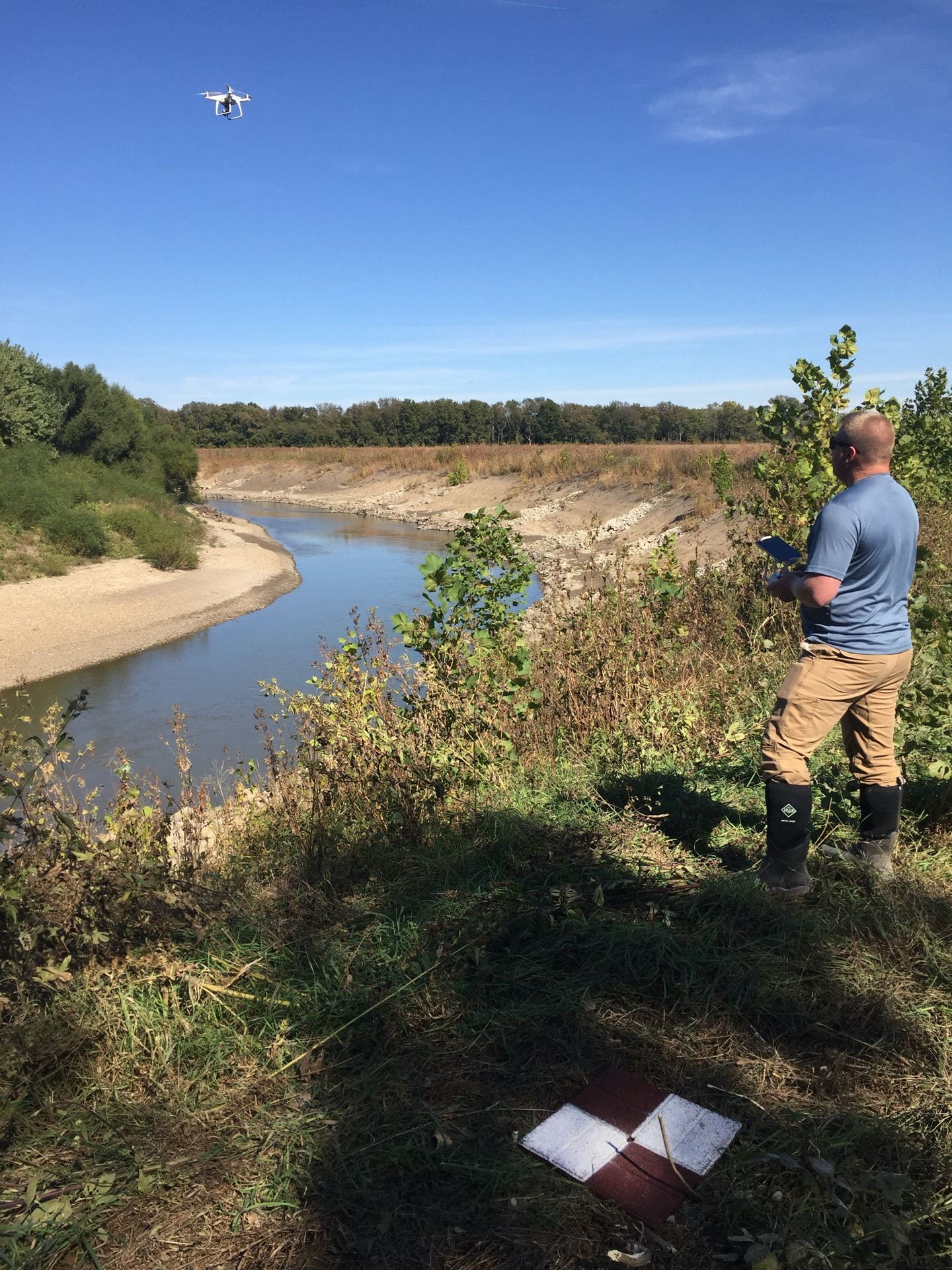
Multiple UAS flight surveys were conducted in the fall/winter on the Cottonwood River. Eleven reaches were surveyed and included two proposed construction sites, 17 constructed sites and four KBS/KU-CE natural survey sites. These datasets provide the baseline data needed to assess the effectiveness of stabilization projects on the Cottonwood River.
Contact: Tony Layzell, Kansas Geological Survey